One map. Every real-time option near you, right now.
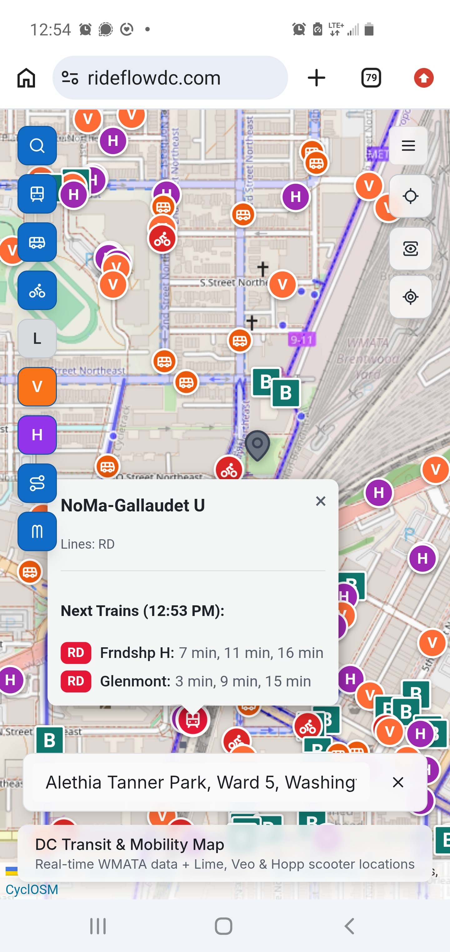
Live bus, Metro, bikeshare, and e-scooters, all in one view, plus AR mode to help you get your bearings.
Why RideFlow DC Exists
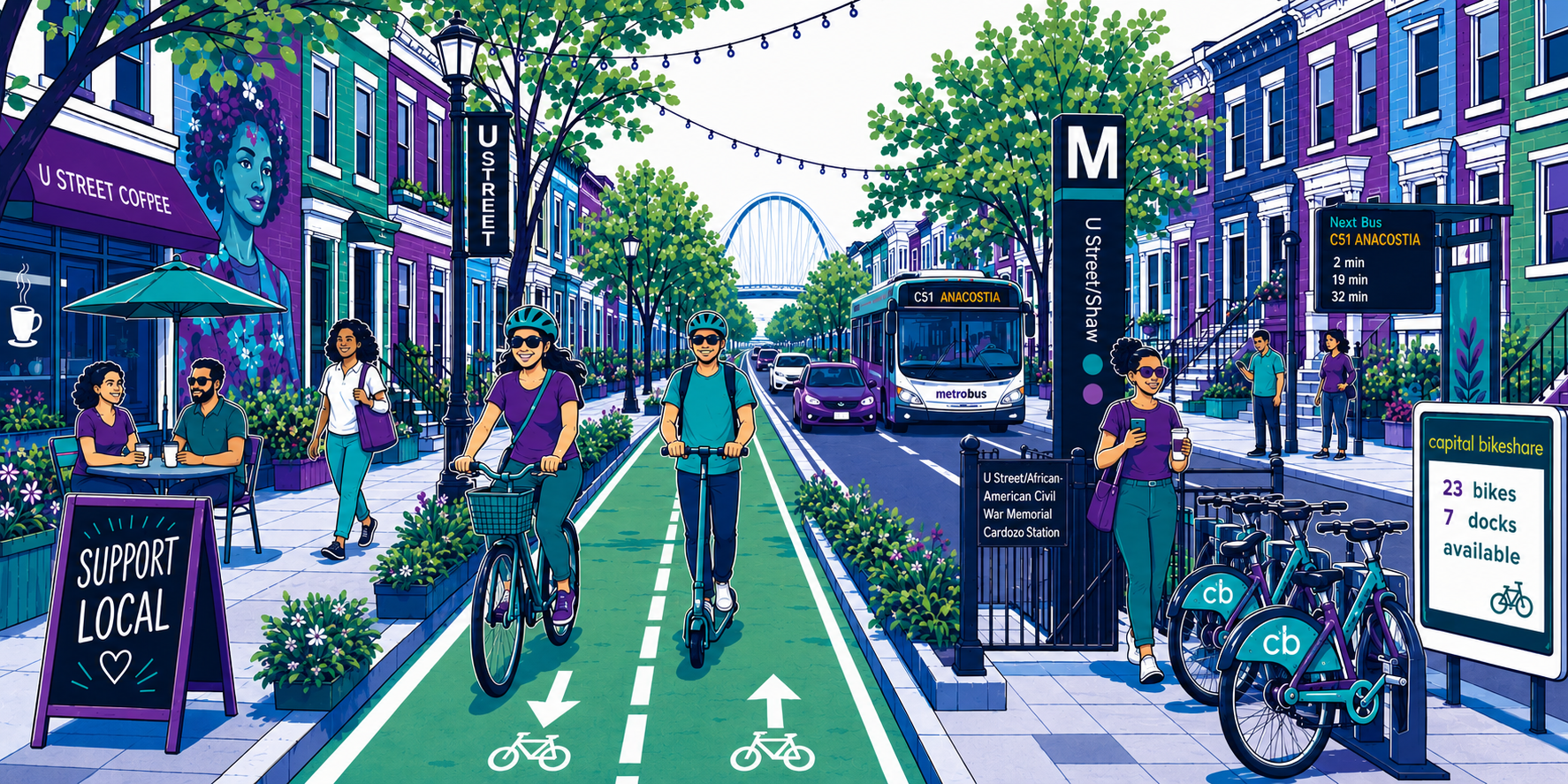
DC has a lot of ways to get around, and checking them all usually means flipping between three or four different apps to compare bus times, bikeshare availability, and rail schedules before you've even left the house. RideFlow DC puts all of it in one window instead: what's actually available near you, right now.
What It Does Today
Real-time transit, all in one view
live WMATA bus and Metro info, plus Capital Bikeshare, Hopp, and Lime, so you can see everything near you without switching apps.
Live Capital Bikeshare status
open bike and e-bike availability and open dock counts at nearby stations.
Bike parking
nearby bike racks and how many there are, so you know where you can actually lock up before you get there.
AR wayfinding
point your phone and see nearby stops overlaid in 3D on the world in front of you, so you know exactly which direction they're actually in instead of wandering in circles trying to get oriented.
Search anything
enter an address, business, landmark, or lat/long to get oriented anywhere in DC, not just from where you're standing.
RideFlow DC's Future
Seeing everything near you is the foundation; true multimodal trip planning is what it's being built toward. RideFlow DC's routing engine, in active development now, will combine biking and public transit into one optimal trip instead of treating them as separate choices, and it will do that with safety built in from the start: routing that favors streets with better bike infrastructure and lower collision risk, not just the fastest path on paper. That safety layer draws on open, public street-safety data, the kind RideScore DC (below) exists to produce.
Spoke and Seek
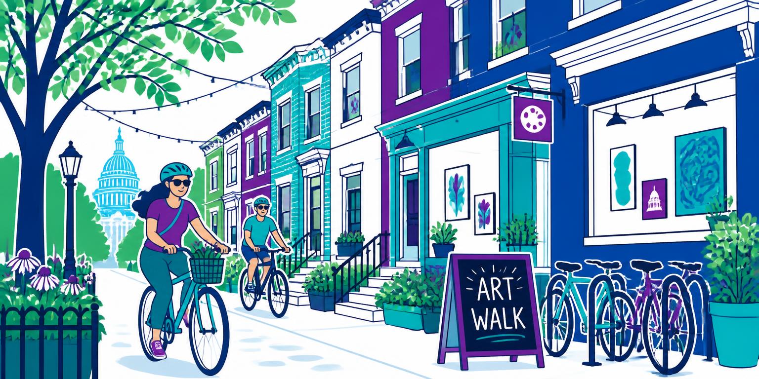
Spoke and Seek is a cyclist scavenger hunt built around the monthly Dupont ArtWalk. The idea came out of playing #TranspoBINGO, where every round taught me something new and local about DC, along with a new way to get around it. I wanted RideFlow DC to give people that same feeling: not just a faster trip, but a better sense of the city they're moving through. Riders get a shareable link that opens straight into the app at a specific riddle location, using RideFlow's AR mode to help find each spot. It's currently concentrated around Dupont since that's where it was organized, but new riddles can be set anywhere in the DC area. It's also a live testbed for RideFlow DC's future business strategy, things like venue partnerships and sponsorships. Soon, you'll be able to sponsor your own riddle through Patreon, one more way Spoke and Seek can grow past a single event.
Where It Started
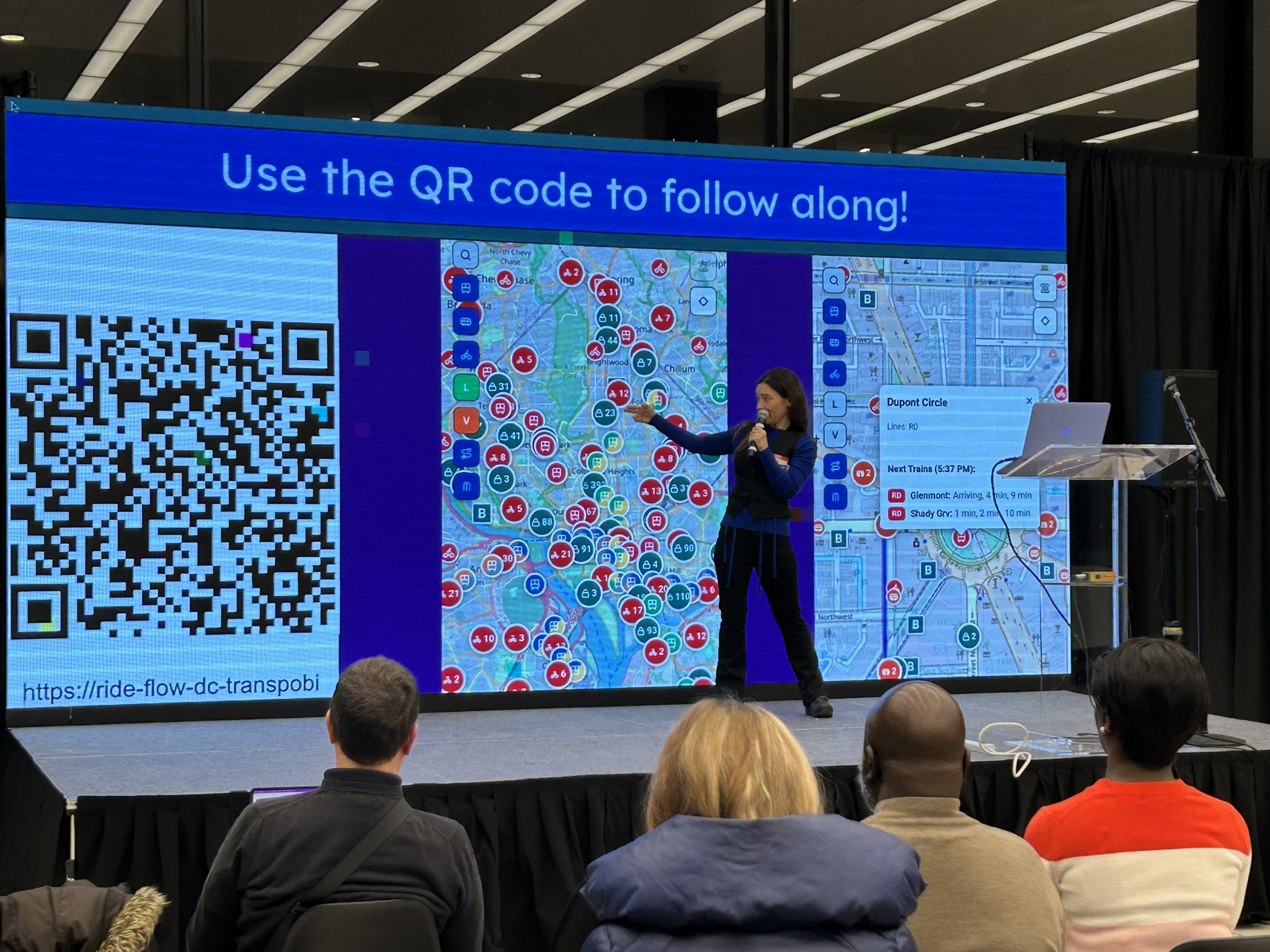
RideFlow DC got its start in the inaugural AI Upskilling Labs, a 12-week program built for former and federal-adjacent workers navigating displacement. That first version, built with a small team, already pulled from the WMATA API and had around ten preset routes. When the 12-week cycle ended, the enthusiasm and encouragement it got were what convinced me to keep going: I took what I'd learned, rebuilt the app from scratch, and refocused it into what's live today.
Sister Project: RideScore DC
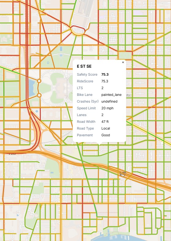
Building safety-first routing meant first having an actual safety scoring system for DC streets, something useful to the whole city, not locked inside one app. That's what led me to launch RideScore DC: an open-source bicycle safety scoring project run through the nonprofit Civic Tech DC, built by a team of 10 to 15 contributors, that scores DC streets for cycling safety and keeps that data public. I lead both RideFlow DC and RideScore DC, but they're separate projects with separate teams; RideScore DC's data is open to anyone, and it's the place to go if you want to get involved in the safety-data side of this work specifically.
Learn more at ridescoredc.com
Built by EChO
My name is EChO, and I built RideFlow DC independently, as someone who actually uses it, in every mode it covers. I'm car-free in DC, and depending on the day that means a small personal Glion scooter I can bring onto Metro, a Capital Bikeshare e-bike, or some mix of walking, biking, and transit I put together on the fly. That's the actual problem this app solves for me: I'm not loyal to one mode, so I needed one place that shows me everything at once. In 2026, that work got recognized by Technical.ly as one of their RealLIST Innovators for the DC region.
Support the Project
RideFlow DC is independently built, with no VC funding pushing the roadmap in a direction that isn't rider-first. Support on Patreon (coming soon) will go toward the real costs of scaling this up: higher-resolution AR mapping, hosting and API costs as usage grows, a real graphic designer, and some support for the time it takes to keep building this solo. If you'd like to support this work in another way, soon you'll be able to sponsor your own Spoke and Seek riddle too.